- UK /
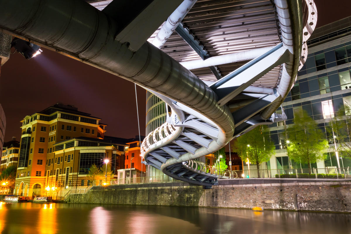
- Bristol
Discover The Latest Property Statistics and Sold House Prices In Bristol, Bristol (County Of).
Gain a competitive edge in the Bristol, Bristol (County Of) housing market using our extensive data on house prices with local insights and trends.
BRISTOL
Property market data for Bristol in Bristol (County Of). Compare data on the district postcode areas of Bristol including sold house price growth, long let gross rental yield, buyer demand, average asking price, average price per square foot and average rental prices. Explore Bristol with a range of tools to help you understand the local market.
In the centre of Bristol, BS1 long-let gross yield is 6.1%, the average rental price is £401 the average asking price is £340,196 and the average price per square foot is £478. There are currently N/A completed property sales per month, with a turnover of 9.0%. Toggle between postcode districts to see how different areas compare.
BUY-TO-LET PROPERTY INVESTMENT IN BRISTOL
Understanding the Housing Market in Bristol: Key Facts and Figures
Bristol is a city in the loosely defined area of southwest England known as the West Country. With a connection to the sea, it is a historical port city and the 10th biggest port in England. The docks at Portbury, Avonmouth and the Port of Bristol see 12 million tonnes of freight passing through them, per year, including cars, petrochemicals, grains, metals, fresh produce, forest products and almost anything else you could imagine. And the port is expanding too. The UK Government has consented to a deep-sea container terminal, meaning the port will be able to serve the largest container vessels in the world. Bristol has the fastest-growing population of all of the UK's Core City group (of which it is a member), as well as being the 11th largest local authority in England and Wales. The residential population of the Bristol Local Authority was 472,000 (Census 2021), an increase of 10.3% from 44,000 from 10 years earlier (Census 2011). This is significantly above the 6.3% increase in the population, that England and Wales saw over that decade, as a whole. Population density is up as well. 2021 saw a density of 4,308 people per square kilometre, giving Bristol a similar population density to Liverpool or Nottingham, up from 3,905 per km² in 2011. The UK Powerhouse report, produced by the law firm, Irwin Mitchell and the Centre for Economics and Business Research in the late spring of 2022, predicts the creation of 10,000 new jobs in Bristol by the end of 2023 and the economy of the city, in the same timescale, is predicted to expand by 500 million to a total value of £14.7 billion. However, the report points out that this expansion represents a decrease in GVA (gross value added) growth that will see the city drop out of the UK's top ten cities for economic growth and into position 18, of the 50 cities that were surveyed. In the early summer of 2022, there were around 207 thousand houses in the city and the city council (Bristol City Council or BCC) has set itself a target for building 2 thousand more homes, each year, half of which will be affordable. The average price of a home has increased by 93% (£161,000), over the last 10 years and in 2021 Bristol had a ‘housing affordability ratio’ of 9.71, meaning that the price of an average home is almost 10 times that of the average salary, the highest ratio of all the English Core Cities.